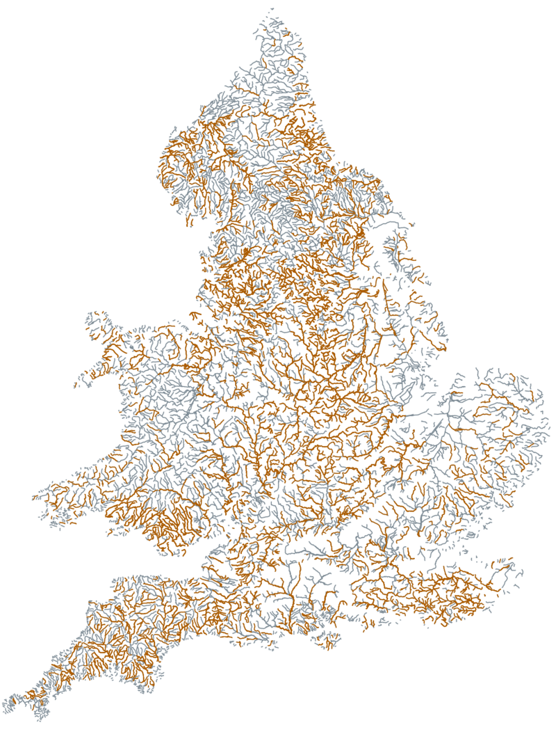
Rivers Ranked for 2024
Here are the top rivers in England and Wales that had sewage overflows in 2024. As the list is grouped by company, some rivers may feature more than once, being polluted by different companies along their length.
The full list is quite long. You can access that
As there are different rivers with the same name in different parts of the country, it didn't seem sensible to group by river name alone.
The category of "river" is made by the water companies in their "Consent to Discharge with Conditions" - so although there are a number of Seas in this list, that's what they are reporting
| Rank | River | Company | Sewage Dumps | Change | Duration (Hours) | Change |
| 1 | River Avon | Wessex Water | 5,221 | 502 | 39,065 | 6,487 |
| 2 | Unknown | South West Water | 2,813 | -538 | 30,218 | 1,939 |
| 3 | River Trent | Severn Trent Water | 3,186 | 247 | 26,083 | 4,306 |
| 4 | River Ouse | Yorkshire Water | 2,499 | -275 | 25,550 | -1,836 |
| 5 | River Teifi | Dwr Cymru Welsh Water | 2,232 | -347 | 22,288 | -6,083 |
| 6 | River Severn | Severn Trent Water | 2,809 | -248 | 21,458 | -8,778 |
| 7 | River Tamar | South West Water | 2,001 | 2 | 21,237 | 865 |
| 8 | River Aire | Yorkshire Water | 3,997 | -891 | 21,191 | -8,266 |
| 9 | River Calder | Yorkshire Water | 3,373 | -804 | 19,525 | -13,207 |
| 10 | River Clyde | Scottish Water | 2,459 | -236 | 17,887 | -2,237 |
| 11 | River Great Ouse | Anglian Water | 1,329 | 802 | 17,602 | 12,965 |
| 12 | River Welland | Anglian Water | 1,176 | 696 | 17,275 | 11,877 |
| 13 | River Avon | Severn Trent Water | 1,680 | 550 | 16,455 | 6,268 |
| 14 | River Nene | Anglian Water | 2,031 | 885 | 16,309 | 9,266 |
| 15 | River Tawe | Dwr Cymru Welsh Water | 2,173 | -419 | 16,144 | -6,632 |
| 16 | Clyde Estuary | Scottish Water | 2,386 | 215 | 16,090 | -583 |
| 17 | River Frome | Wessex Water | 2,048 | 265 | 16,043 | 4,223 |
| 18 | River Derwent | Severn Trent Water | 2,675 | -57 | 15,729 | -847 |
| 19 | River Wharfe | Yorkshire Water | 1,944 | -512 | 14,799 | -8,320 |
| 20 | River Usk | Dwr Cymru Welsh Water | 1,761 | -103 | 14,743 | -695 |